Now Reading: Will Cyclone Akvan affect Vizag?
-
01
Will Cyclone Akvan affect Vizag?
Will Cyclone Akvan affect Vizag?
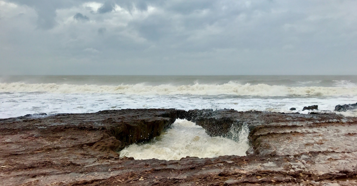
According to the latest Indian Meteorological Department (IMD) report, there are chances of a storm forming in the Bay of Bengal near the Andaman & Nicobar Islands, which is expected to intensify in the next two days. It could form a Cyclone by November 16th or later, based on the storm’s development, which is a direct result of a low-pressure area formed under the influence of upper-air circulation. There were reports of rain from the Andaman & Nicobar Islands, in line with the forecast. The storm, if it develops into a cyclone, will be named ‘Aknav’ by IMD, so until then it serves as a reference point only.
Where does Cyclone Aknav stand?
To put it in perspective, Arnab followed different stages of a predictive timeline. Whereas Akvan’s system is still weak and yet to cross many stages, such as: low, well-marked low, depression, deep depression, and cyclonic storm. Currently, it has an estimated central pressure of about 1010 hPa, which is just below normal.
Where might it head?
The track of the storm has not been set in stone, but the bulletin states that most of the predictive models suggest the pathway is set towards northern Andhra Pradesh, which includes
Visakhapatnam, but two prominent forecasting agencies(IMD GFS and CMC) disagree and say there’s scope for the movement to change based on the developments of the storm in the following days. The other possible pathways include Northern Tamil Nadu and Odisha, with no threat to the Arabian Sea region.
To everyone, including the residents of Vizag, kindly wait for official reports from verifiable news
outlets and IMD, and refrain from panicking over social media buzz created for views, as the cyclone warning hasn’t officially been issued yet. Do take precautions, check your rations, and stay prepared, just like you did for Arnab.
Also read: Cyclone Arnab: 5 Things to Avoid During a Storm
Stay tuned to Yo! Vizag website and Instagram for more such articles.