Now Reading: How El Niño Affects Cyclones in the Bay of Bengal
-
01
How El Niño Affects Cyclones in the Bay of Bengal
How El Niño Affects Cyclones in the Bay of Bengal
As we all know, 2026 has witnessed the onset of El Niño conditions in June, which have subsequently intensified, with forecasts pointing towards a possible Super El Niño. The phenomenon is expected to peak during the winter months of November and December and continue until the spring of 2027. Thereafter, it is predicted to transition towards ENSO-neutral conditions between April and June 2027. In simpler terms, this could mean a return to more normal temperature patterns instead of the unusually intense heat associated with El Niño.
What Exactly Is El Niño?
To understand El Niño in simple terms, it is important to distinguish it from the global warming we experience. El Niño is a climate phenomenon characterised by the abnormal warming of sea surface temperatures in the central and eastern equatorial Pacific Ocean.
Under normal conditions, trade winds blow from east to west along the equator, pushing warm surface waters towards the western Pacific. During El Niño, these winds weaken and sometimes reverse direction, allowing warm water to move eastwards. This disrupts established atmospheric and oceanic circulation patterns, influencing weather conditions across the globe.
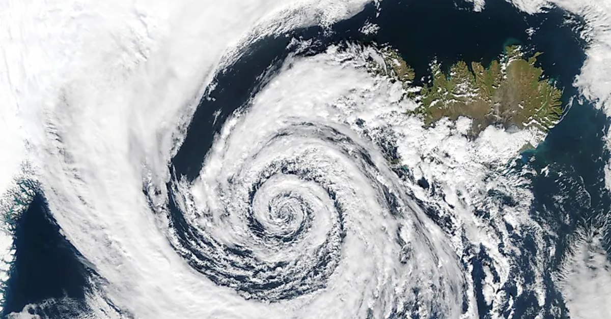
These changes in atmospheric circulation, including variations in wind direction, speed and altitude, can influence the development and movement of tropical cyclones. For coastal regions, particularly those along the Bay of Bengal, understanding these changes becomes crucial to anticipating potential weather-related challenges.
Understanding Cyclone Classification
Before looking at the challenges, it is important to understand how the India Meteorological Department (IMD) classifies cyclones based on their wind speeds.
- Cyclonic Storm: Wind speeds of 63-88 km/h.
- Severe Cyclonic Storm: Wind speeds of 89-117 km/h.
- Very Severe Cyclonic Storm: Wind speeds of 118-166 km/h.
- Extremely Severe Cyclonic Storm: Wind speeds of 167-221 km/h.
- Super Cyclonic Storm: Wind speeds of 222 km/h or above.
How Does This Influence Cyclone Behaviour?
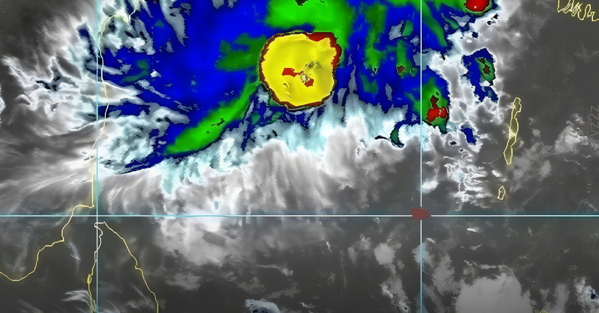
El Niño can influence the conditions that govern cyclone formation, intensification and movement. We witnessed some of these challenges during Cyclone Arnab, which remained nearly stationary for a period before intensifying rapidly. Within just 72 hours, the system reportedly transitioned from a low-pressure system into a very severe cyclonic storm.
Even after making landfall, Arnab continued to bring heavy rainfall for approximately six hours. Such prolonged rainfall highlights how the impacts of a cyclone do not necessarily end with landfall.
While El Niño does not directly cause cyclones, it can influence the atmospheric and oceanic conditions that shape their behaviour. For coastal regions along the Bay of Bengal, this makes continuous weather monitoring, timely forecasts and effective disaster preparedness particularly important. As El Niño conditions evolve over the coming months, understanding these climatic changes can help communities and authorities prepare for potential weather extremes.
Ultimately, preparedness is not just about responding to a cyclone when it approaches but also understanding the climatic patterns that could influence its intensity, movement and impact.
Also read: Akwan to cross coast between Nellore and Vizag
Stay tuned to Yo! Vizag website and Instagram for more city and news updates.