Now Reading: Andhra Pradesh rains: Are showers in the weather forecast for Visakhapatnam?
- 01
Andhra Pradesh rains: Are showers in the weather forecast for Visakhapatnam?
Andhra Pradesh rains: Are showers in the weather forecast for Visakhapatnam?
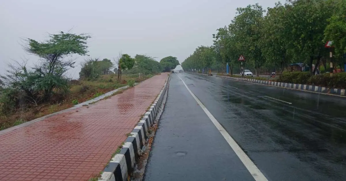
Andhra Pradesh witnessed a fresh spell of intense rains on 13 August 2025 (Wednesday), triggered by a low-pressure system over the Bay of Bengal. The downpour started late Tuesday night around 9 pm and continued until the early hours of Wednesday, dumping 15–20 cm of rain in just a few hours. The impact was particularly severe in Guntur and Vijayawada, where incessant rain led to waterlogging up to 2–3 feet on several roads and inundation of homes in low-lying areas.
The heaviest rainfall was reported from Chundur mandal in Bapatla district (27.24 cm), followed by Chebrolu in Guntur district (23.4 cm), Duggirala (22.58 cm), Tadikonda (22.50 cm), Mangalagiri (19.48 cm), Nagayalanka (19.1 cm), Pedakakani (18.68 cm), Tullur (18.02 cm), and Tenali (17.84 cm).
Floodwaters reached national highways at Kaja and Ibrahimpatnam, effectively cutting off traffic. Many rural routes in Palnadu, NTR, and Guntur districts became impassable. Authorities reported four deaths and two missing persons in rain-related incidents. Meanwhile, heavy rainfall combined with water releases from Nagarjunasagar and Pulichintala projects swelled the Krishna River. At the Prakasam Barrage, 70 gates were lifted, with inflows and outflows reaching 3.97 lakh cusecs by the evening of 13 August 2025, a figure expected to rise to 4–4.5 lakh cusecs. The first danger warning was issued, and residents in downstream areas were put on alert. Preliminary estimates suggest crop damage over nearly one lakh acres.
Weather forecast and alert for Andhra Pradesh
The India Meteorological Department (IMD) has placed coastal Andhra Pradesh under an orange alert, predicting very heavy rains, thunderstorms, and lightning. Rayalaseema districts are under a yellow alert, with expectations of heavy rain and thunderstorms.
According to the IMD’s update, the low-pressure system over the west-central and northwest Bay of Bengal, near the North Andhra Pradesh–South Odisha coast, is persisting. It is accompanied by a cyclonic circulation extending up to 7.6 km above sea level, tilting southward. According to the weather forecast, the system is likely to intensify into a well-marked low within 24 hours and cross North Coastal Andhra Pradesh and South Odisha within 48 hours.
State Disaster Management Authority (APSDMA) Managing Director Prakhar Jain has warned of heavy rainfall in districts such as Alluri, Konaseema, Eluru, NTR, Krishna, Guntur, Bapatla, Palnadu, and Prakasam. Fishermen have been advised to avoid sea ventures until Sunday.
Control rooms have been set up at the APSDMA headquarters with toll-free helpline numbers 112, 1070, and 1800-425-0101. District collectors have been instructed to establish local control centres and ensure field-level officers are accessible to communities in rain-affected areas.
Visakhapatnam Weather Outlook
In contrast to the widespread downpours elsewhere, Visakhapatnam has mostly seen dry and hot weather in recent days, with only light drizzles in isolated areas on Wednesday offering brief respite. As per the IMD forecast issued on 13 August, the city may receive light to moderate rain in scattered pockets on 14 August, with similar conditions expected on 15 and 16 August. Between 17 and 18 August, rainfall is expected to become fairly widespread.
Stay tuned to Yo! Vizag website and Instagram for more city and news updates.